Finding data in the ERDDAP data catalog
Overview
Teaching: 25 min
Exercises: 10 minQuestions
How do I search for data in ERDDAP?
What information does a dataset hold?
How can I subset a dataset?
How do I make a graph in ERDDAP?
Objectives
Understand all the different factors for reusing online data with ERDDAP
Exploring an ERDDAP data catalog
In the chapter before we have seen that there are many ERDDAP servers to chose from. In this chapter we will dive a bit deeper in how to search for data in an ERDDAP catalog.
Finding data
For this example, we will use the ERDDAP operated by BCO-DMO: go to:
https://erddap.bco-dmo.org/erddap/index.html
To view all the available datasets on this erddap server click “View a List of all 1095 datasets”
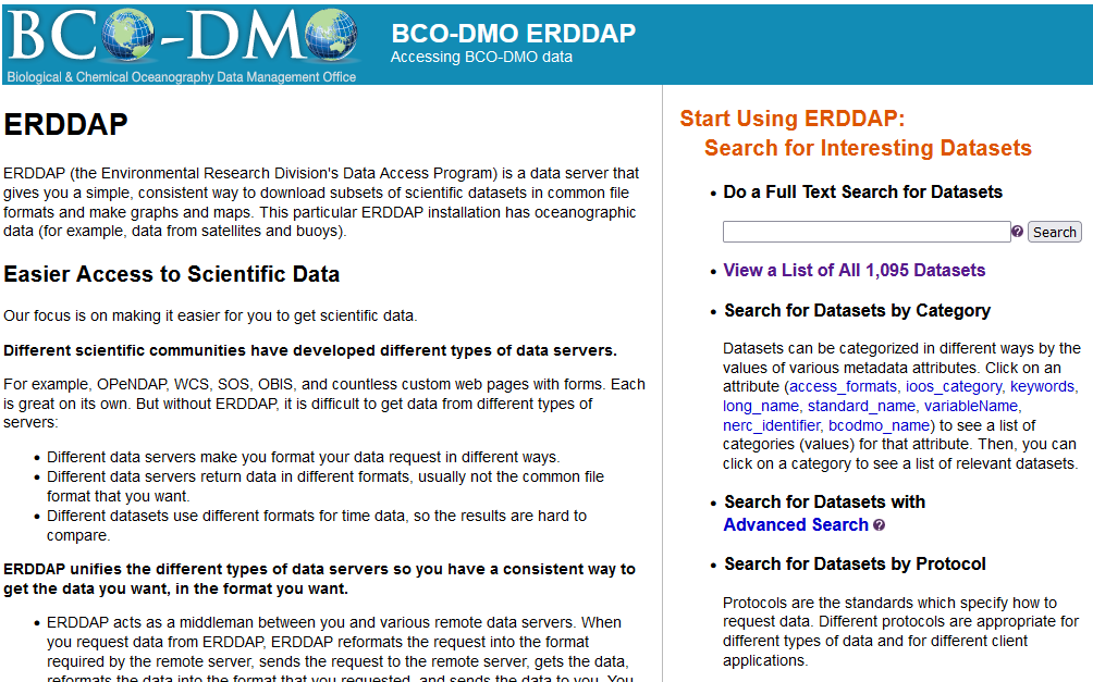
Let’s now search the database for specific data. Let’s search for CTD data in the Ross Sea from 2017. Type in search box: ctd “Ross Sea” 2017. This is a full text search, just like Google, use white spaces in between words and double quotes “” around phrases
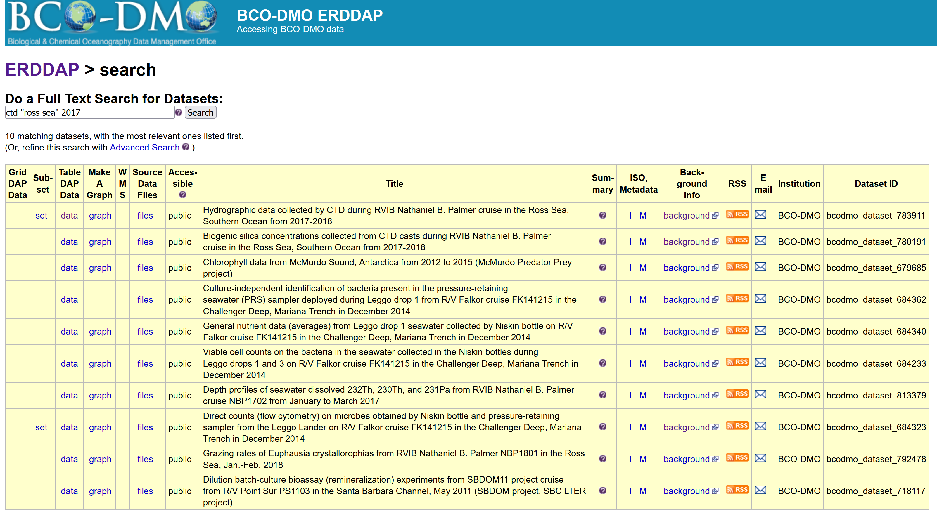
There are a couple of datasets that are popping up in this search, but let’s choose the one with DatasetID: bcodmo_dataset_783911.
Dataset information
Within the search results you have access to information about each dataset to help you decide with which dataset is useful for your application.

The listing (pictured above) gives access to a lot of information about the dataset. In a browser, try the following:
- Mouse over the question mark
?under Summary to get an overview of the dataset. - Click “Background info” to get more complete information from the data provider about the dataset. Now go back to the search results page.
- Click the
"M"under “ISO,Metadata” to see all of the dataset metadata. A lot of information is displayed. Some important fields are:- Global attributes (general metadata) vs variable attributes (variable names & units)
"geospatial_lat_min","geospatial_lat_max","geospatial_lon_min", and"geospatial_lon_max"for the spatial coverage"references"for citing the dataset in publications"license"for restrictions on using the data"acknowledgement"often used to describe how to acknowledge use of the dataset- time: ERDDAP standardizes the dates+times in the results. Data from other data servers is hard to compare because the dates+times often are expressed in different formats (for example, “Jan 2, 2018”, 02-JAN-2018, 1/2/18, 2/1/18, 2018-01-02, “days since Jan 1, 1900”). For string times, ERDDAP always uses the ISO 8601:2004(E) standard format, for example, 2018-01-02T00:00:00Z. For numeric times, ERDDAP always uses “seconds since 1970-01-01T00:00:00Z”. ERDDAP always uses the Zulu (UTC, GMT) time zone to remove the difficulties of working with different time zones and standard time versus daylight saving time.
These standardised variables are important for the dataset to be able to be “read” by other end-users and machines.
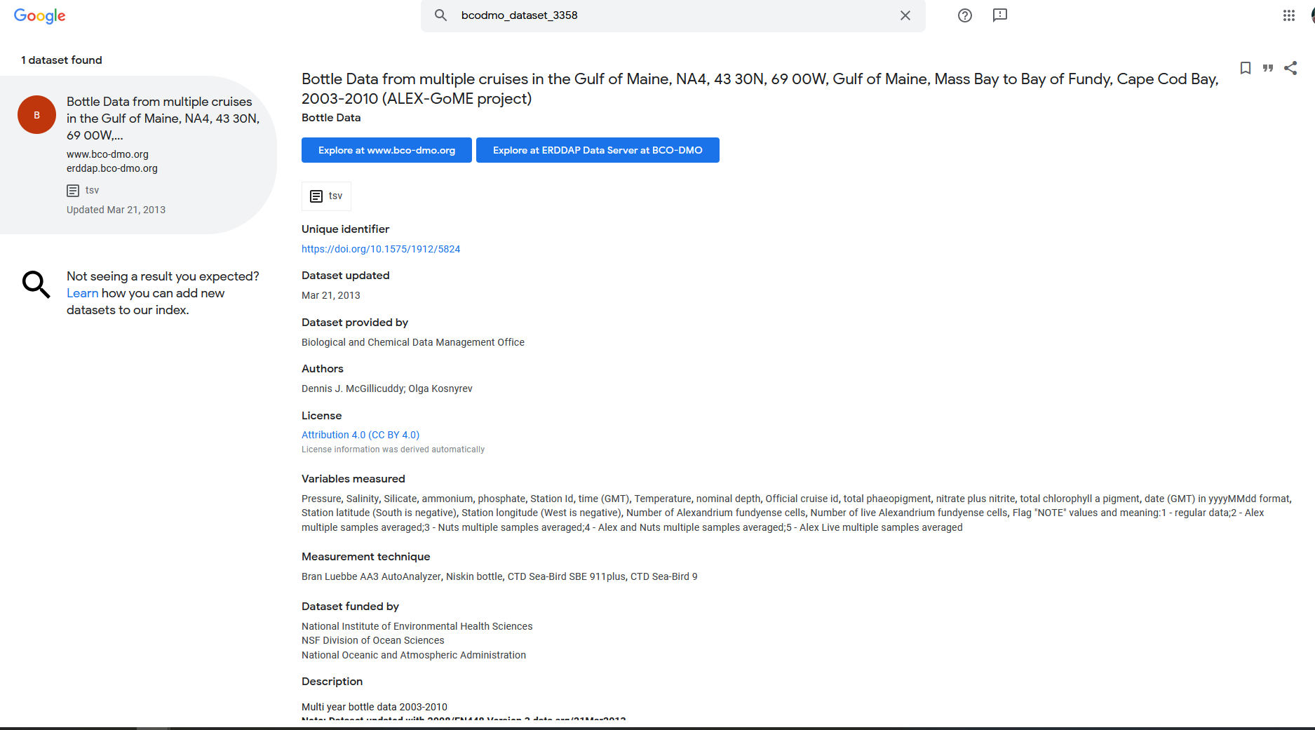
For example Google dataset search:
-
open google dataset search: https://datasetsearch.research.google.com/
-
search for the dataset id of the dataset above: bcodmo_dataset_783911
Subsetting data
Click on the data button. Here is the link to the dataset in erddap: https://erddap.bco-dmo.org/erddap/tabledap/bcodmo_dataset_783911.html
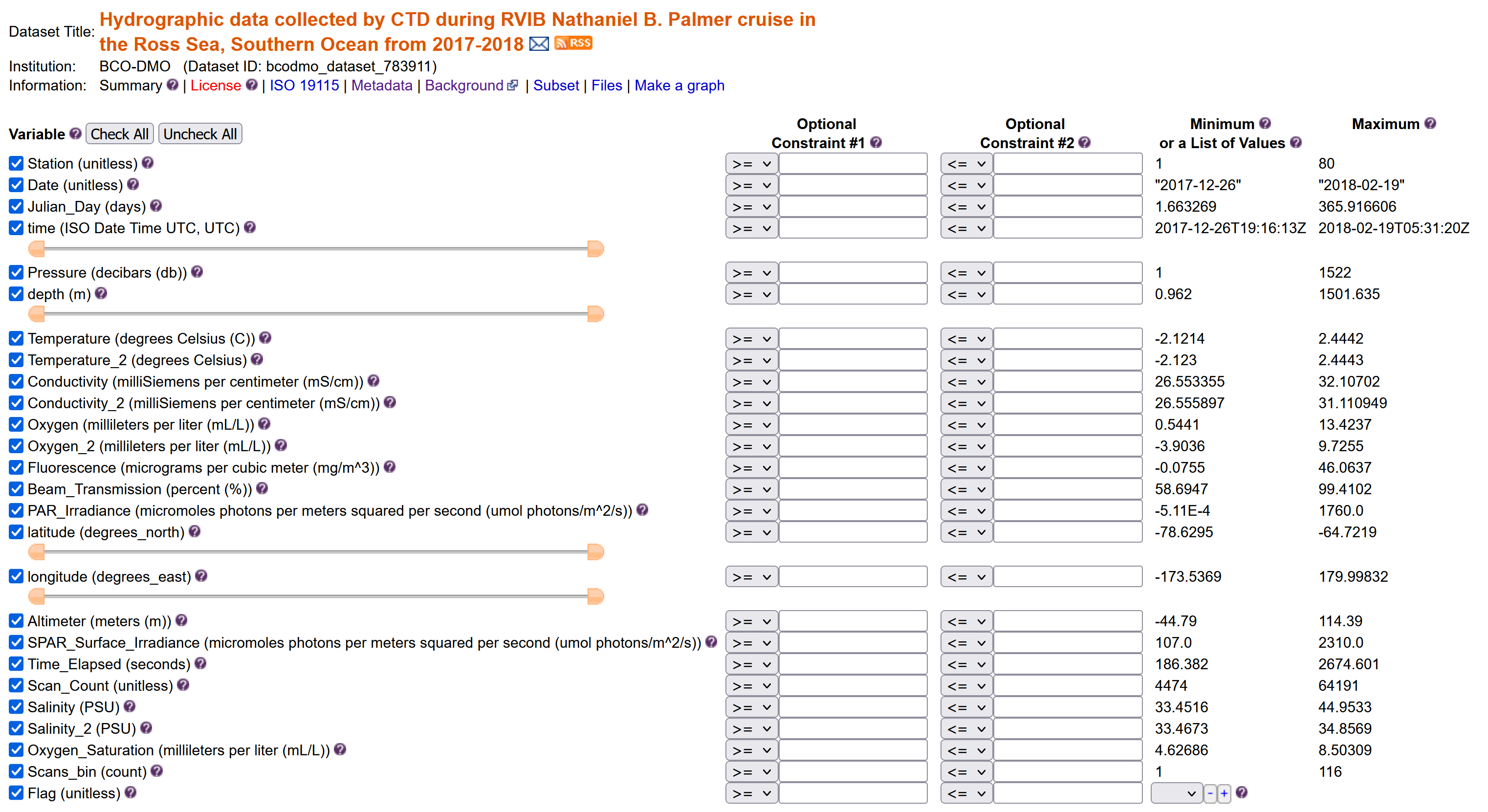
Set the file type
Download the data “Submit”
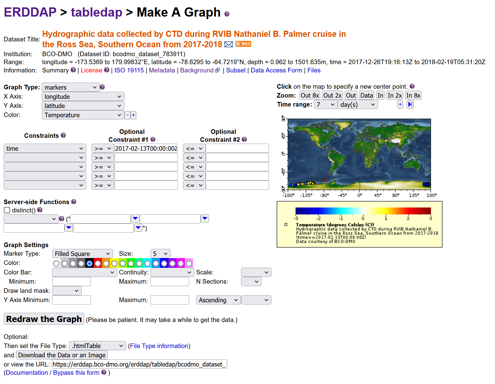
Create a graph
ERRDAP also provides a graph function for your datasets, but I will not go into this more in detail.
Exercise: Inspect BGC-Argo data
- Go to the ERDDAP server: https://polarwatch.noaa.gov/erddap/.
- search “Biogeochemical-Argo” .
- Q: how many datasets are being returned?
- Q: What is the difference between the datasets? (Does the title give something away?)
- Q: What is the time range the datasets have? (Hint click data tab)
- Download a dataset in .csv format that ranges in time from May 1st, 2015 until May 3rd 2015
Key Points
Searching an ERDDAP data catalog can be done using a web page
Data can be downloaded in different file formats
Constraints can be added to a dataset search